FAQs
December 18, 2025


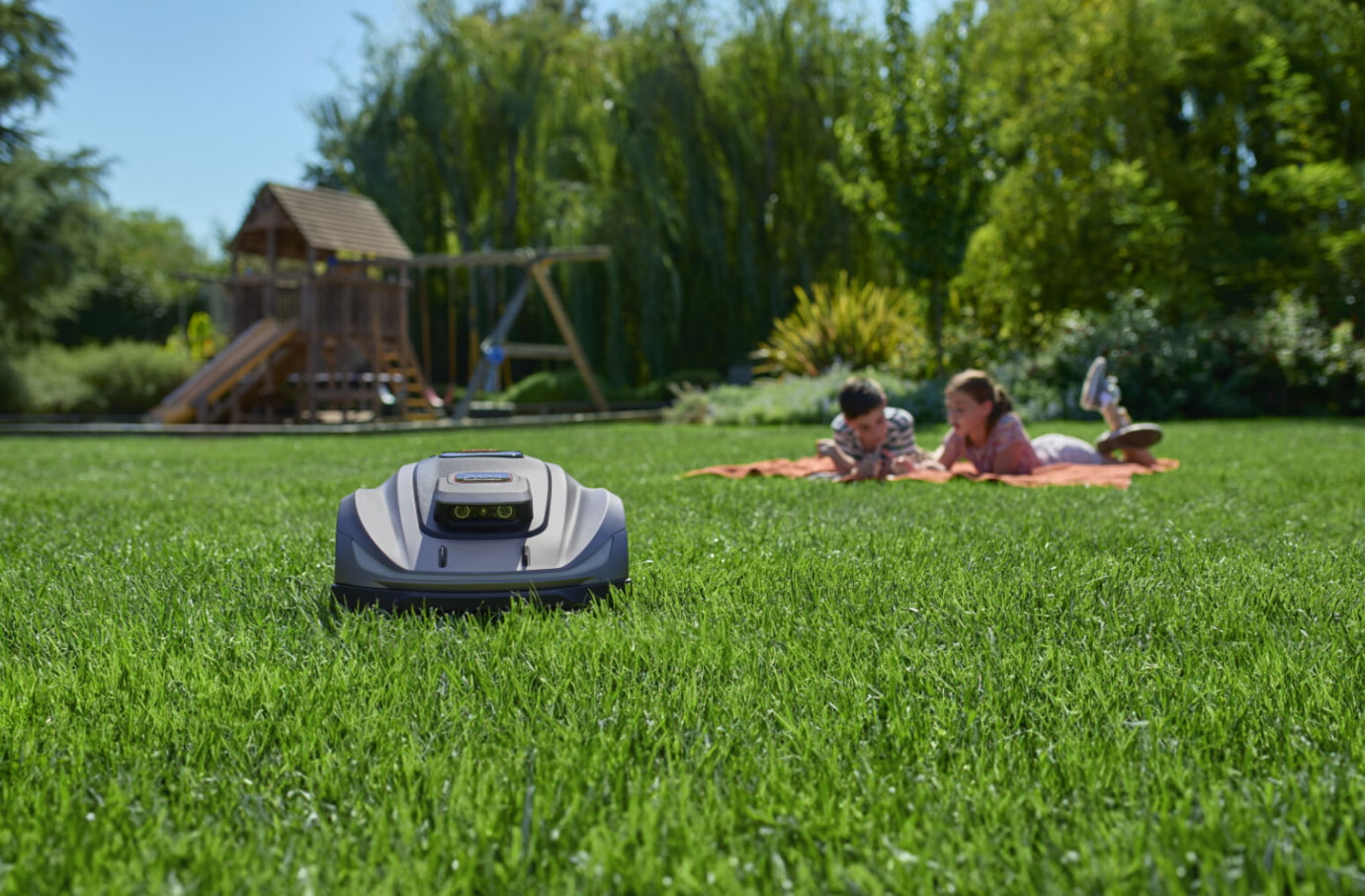
A lawn mower that operates without buried wires is no longer a concept but a practical reality. GPS robot lawn mowers rely on satellite positioning to navigate your yard with precision, following smart, efficient cutting paths. This article breaks down how GPS navigation and tracking combine to deliver reliable, hands-off lawn care with consistently clean results.
To appreciate what a GPS robot mower can do, it helps to understand the basic technology that makes it possible. At its core, this is about giving a machine the ability to pinpoint its location on Earth with remarkable accuracy.
The magic starts high above the Earth. A network of Global Navigation Satellite Systems (GNSS), which includes the American GPS, European Galileo, and others, continuously transmits timing signals. Your robot mower is equipped with a small but sophisticated GPS receiver.
By calculating the tiny time differences in signals received from multiple satellites (at least four), the mower can triangulate its exact position on your property, typically within a few meters. This fundamental capability to "know where it is" forms the foundation for all its intelligent behaviors.
Not all GPS in mowers is created equal. There are primarily two tiers of technology. Standard GPS provides the basic positioning described above, accurate to within 2-5 meters. This is suitable for general navigation but may lead to less precise edge-cutting.
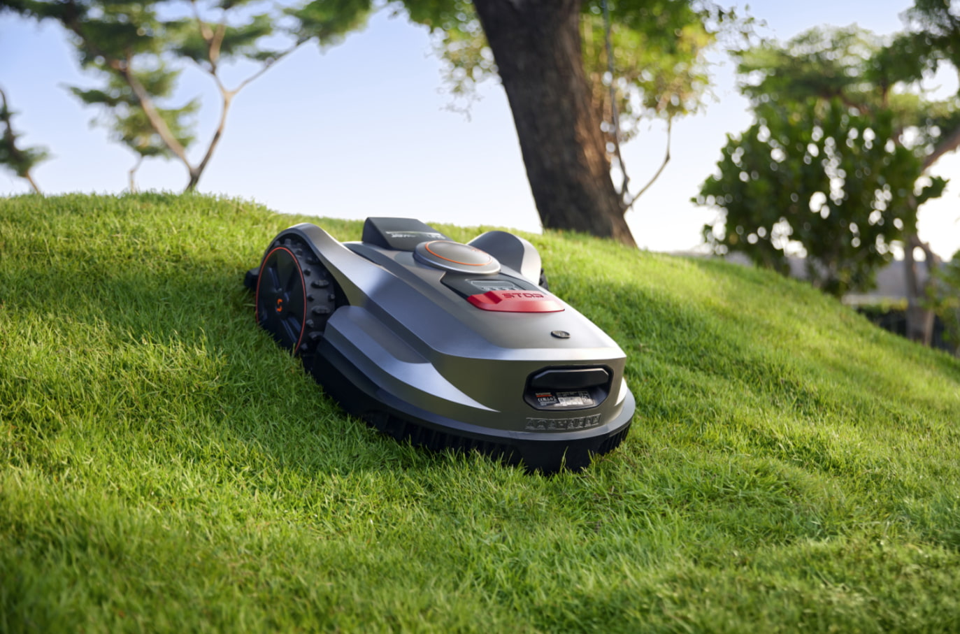
The gold standard for robotic mowing is RTK-GPS (Real-Time Kinematic). This system uses a stationary base station you set up in your yard. The base station calculates the atmospheric errors in the satellite signals and sends corrections to the mower in real time. This boosts accuracy to an incredible 1-3 centimeters, allowing for razor-sharp virtual boundaries and perfectly straight mowing lines.
Three main hardware pieces work in concert. The Satellite Receiver on the mower captures signals. The RTK Base Station (for high-end models) is the fixed reference point that provides correction data, usually via a radio link.
Finally, the Onboard Control Processor is the mower's brain. It takes the precise location data, compares it to the digital map of your lawn stored in its memory, and makes instant decisions about steering, speed, and cutting patterns. This seamless integration turns raw satellite data into smooth, efficient lawn care.
While GPS technology is powerful, its performance is not entirely independent of its surroundings. Dense tree cover, tall buildings, and nearby structures can partially block satellite signals, reducing positioning accuracy. For RTK systems, correct base station placement is especially important. It must be installed in a fixed location with a clear view of the sky and within the recommended distance from the charging station.
Following proper placement guidelines and setup steps helps ensure stable correction data for accurate operation. For a detailed, step-by-step explanation of RTK base station installation, refer to our guide What Is RTK Technology? A Smarter Way to Mow Your Lawn.
This is where the technology translates into tangible results in your yard. GPS navigation is all about intelligent movement within defined spaces.
This is the feature that eliminates the need for perimeter wires. Using a smartphone app, you guide the mower around the edge of your lawn, along garden beds, and past obstacles. The mower logs these GPS coordinates, creating a precise digital map, or virtual boundary.
Once set, the mower's navigation system constantly checks its current position against this map, ensuring it stays within the "invisible fence." This means you can define complex shapes with curves and angles that would be difficult or impossible with a physical wire.
Knowing boundaries is one thing. Covering the area efficiently is another. Unlike older random-bounce robots, GPS mowers use systematic algorithms.
The most common is the straight-line pass. The mower calculates parallel lines across the length or width of your lawn and meticulously follows them, turning neatly at the virtual boundary. Some models also use spiral patterns for open areas. This methodical approach ensures no strip is missed, eliminates wasteful overlapping, and creates that desirable, professionally striped appearance.
For properties with separate front, back, and side yards, GPS navigation shines. You can create individual maps for each zone. The mower can be scheduled to work in the front yard in the morning, then automatically navigate through a defined passageway (at least 1 meter wide) to tackle the backyard in the afternoon.
It intelligently manages its battery life to complete each zone's task or return to the charger between zones. This turns a collection of separate lawns into one seamlessly managed landscape.
Beyond navigation, the constant GPS signal provides powerful features for monitoring, security, and optimizing your lawn's health.
Open the companion app on your phone, and you'll likely see an icon showing your mower's exact location in real time on a map of your property. This isn't just for curiosity. It allows you to check if the mower is working while you're at the office or on vacation. You can see if it's stuck in a corner, happily mowing the back forty, or safely docked and charging. This transparency turns lawn care from a mystery into a managed process.
A significant concern with valuable outdoor equipment is theft. GPS mowers have a built-in deterrent. Most systems require a PIN code to operate. If the mower is lifted and moved without authorization, it will sound an alarm and, crucially, send an alert with its last known GPS coordinates to your phone.
Some models and services even offer continuous tracking, allowing you to see the mower's movement in real time and provide precise location data to authorities, vastly increasing the chances of recovery.
Every mowing session is a data collection event. The app doesn't just track location. It logs how much area was covered, how long it took, and the paths taken. Over time, you can review this history to see the mower's efficiency. You might notice it takes longer in a certain damp, shady area, indicating thicker growth.
This data-driven insight allows you to fine-tune schedules, adjust cutting heights for different zones, and truly optimize your lawn care strategy for health and appearance.
The market for GPS mowers is maturing rapidly. Here are three standout models for 2026, suitable for lawns of different sizes.
The Mammotion LUBA Mini AWD 800 is designed for compact lawns with complex layouts. It handles steep slopes, irregular flower beds, and narrow features like streams with ease, using clear navigation logic for clean, uniform cuts. All wheel drive supports slopes up to 80% (38.6°), making it a strong choice for challenging small yards.
Pros:
Reliable performance on complex and uneven terrain
Clean, consistent cutting results
Stable and dependable navigation
Quiet, low-noise operation
Effective obstacle detection and avoidance
Cons:
Slower mowing speed
Occasional connection instability
Basic app interface with a less intuitive layout
The Segway Navimow X315 is a highly efficient robotic mower designed to quickly cover medium-sized lawns without missing spots. It navigates systematically, avoids obstacles with ease, and delivers consistent results across areas up to 1,500 m², while maintaining quiet operation at around 60 dB.
Pros:
Very fast mowing speed, with 30 minutes of charging delivering up to 90 minutes of runtime and coverage of around 500 m²
Accurate navigation even under tree cover
Polished, intuitive app with detailed configuration options
Multiple built-in anti-theft features
Cons:
Not suitable for rough or highly uneven terrain
Higher upfront investment cost
The Sunseeker Elite X7 is designed for large and demanding lawns, combining RTK-GPS precision with advanced Vision AI for stable, wire-free navigation. Its floating cutting deck adapts to uneven ground, delivering clean, straight lines and preventing grass buildup, even in dense turf, steep slopes, and challenging terrain.
Pros:
All-wheel-drive system performs well across varied and challenging terrain
Delivers uniform, consistent cuts with clear, professional-looking lawn stripes
Very easy and straightforward installation
Intelligent multi-zone mapping and flexible scheduling
Cons:
Software and user interface lack refinement in some areas
Runtime is slightly shorter compared to other large-area models
Premium pricing
Sunseeker X7 with powerful slope-climbing capability
|
Key Indicators |
Mammotion Luba Mini AWD 800 |
Segway Navimow X315 |
Sunseeker Elite X7 |
|
Price |
€1,599 |
€2,499 |
€2,399 |
|
Recommended Lawn Size |
Up to 800m² |
Up to 1500m² |
Up to 3000m² |
|
Max Slope Capability |
80% (38.6°) |
50% (27°) |
70% (35°) |
|
Navigation System |
iNavi Service™ (NetRTK+Vision) |
EFLS 3.0 (AI-enhanced RTK) |
AONavi™ (RTK + VSLAM + Vision AI) |
|
Cutting Width |
20 cm |
23.7 cm |
35 cm |
|
Cutting Height Range |
20–65 mm |
20–70 mm |
20–100 cm |
|
Engine |
All wheel-drive |
Two wheel-drive |
All wheel-drive |
|
Noise Level |
60 dB(A) |
60 dB(A) |
60 dB(A) |
|
Waterproof Rating |
IPX6 |
IP66 |
IPX5 |
|
Rain Detection |
Yes |
Yes |
Yes |
|
Charging Time / Runtime per charge |
160 min / 120 min |
60 min / 120 min |
120 min / 90 min |
(Data sourced from publicly available websites as of 18/12/2025 and provided for reference only)
GPS technology adds value, but it comes at a premium. It's particularly beneficial for certain types of homeowners and properties.
If your property is divided by driveways, paths, or structures into several distinct grassy areas, a GPS mower is a game-changer. Managing these zones with boundary wires would be a complex web of installation. With GPS, you simply map each area once. The mower handles the logistics of moving between them according to your schedule, making complex landscapes simple to manage.
Are you still planting trees, expanding garden beds, or planning a new patio? With a physical boundary wire, every landscaping change means digging up and rerouting cable—a major hassle. With a GPS mower and virtual boundaries, you just update the digital map in the app. This flexibility is perfect for new homes or for gardeners who love to evolve their outdoor space.
If you love integrating smart devices, analyzing data, and controlling things remotely, a GPS mower fits perfectly into your ecosystem. The integration with apps, potential for smart home voice commands (via Alexa or Google Home), and rich performance data will appeal to you far more than a simple "set a timer" model. It transforms a chore into a connected, tech-forward experience.
For estates or homes with expansive lawns and clear sky views, GPS mowers offer exceptional efficiency while saving significant time and effort. The absence of physical boundary wires eliminates lengthy installation projects, allowing immediate use across unlimited acreage. These mowers employ systematic straight-line navigation that covers vast areas faster and more uniformly than random-pattern models, dramatically reducing overall mowing time.
GPS technology has fundamentally changed what a robot lawn mower can be. It has evolved from a tool that simply automates a repetitive task into an intelligent system that understands its environment, communicates with you, and operates with precision and purpose. Whether you're drawn to the wire-free installation, the ability to manage a complex property, the security of real-time tracking, or the satisfaction of data-driven lawn care, a GPS-enabled mower offers a compelling upgrade.
By understanding your yard's needs and how models like the intelligent Sunseeker Elite X-series meet them, you can invest in a machine that doesn't just cut grass—it cares for your lawn. The future of lawn maintenance is here, and it knows exactly where it's going.
Standard GPS provides location accuracy within 2-5 meters, suitable for basic navigation. RTK-GPS uses a base station for real-time corrections, achieving 1-3 cm precision for exact boundary mapping and straight-line cutting patterns.
Yes, dense foliage, tall structures, or steep terrain can block or weaken satellite signals. This may cause temporary navigation issues. Models with hybrid systems (GPS plus cameras or sensors) handle such obstructions more reliably.
Strategically improve GPS signal by checking your yard for sky obstructions using a satellite app. Relocate the base station or trim foliage to ensure a clear view of the sky. Also, test mowing in weak zones at different times of day to leverage optimal satellite geometry for coverage.